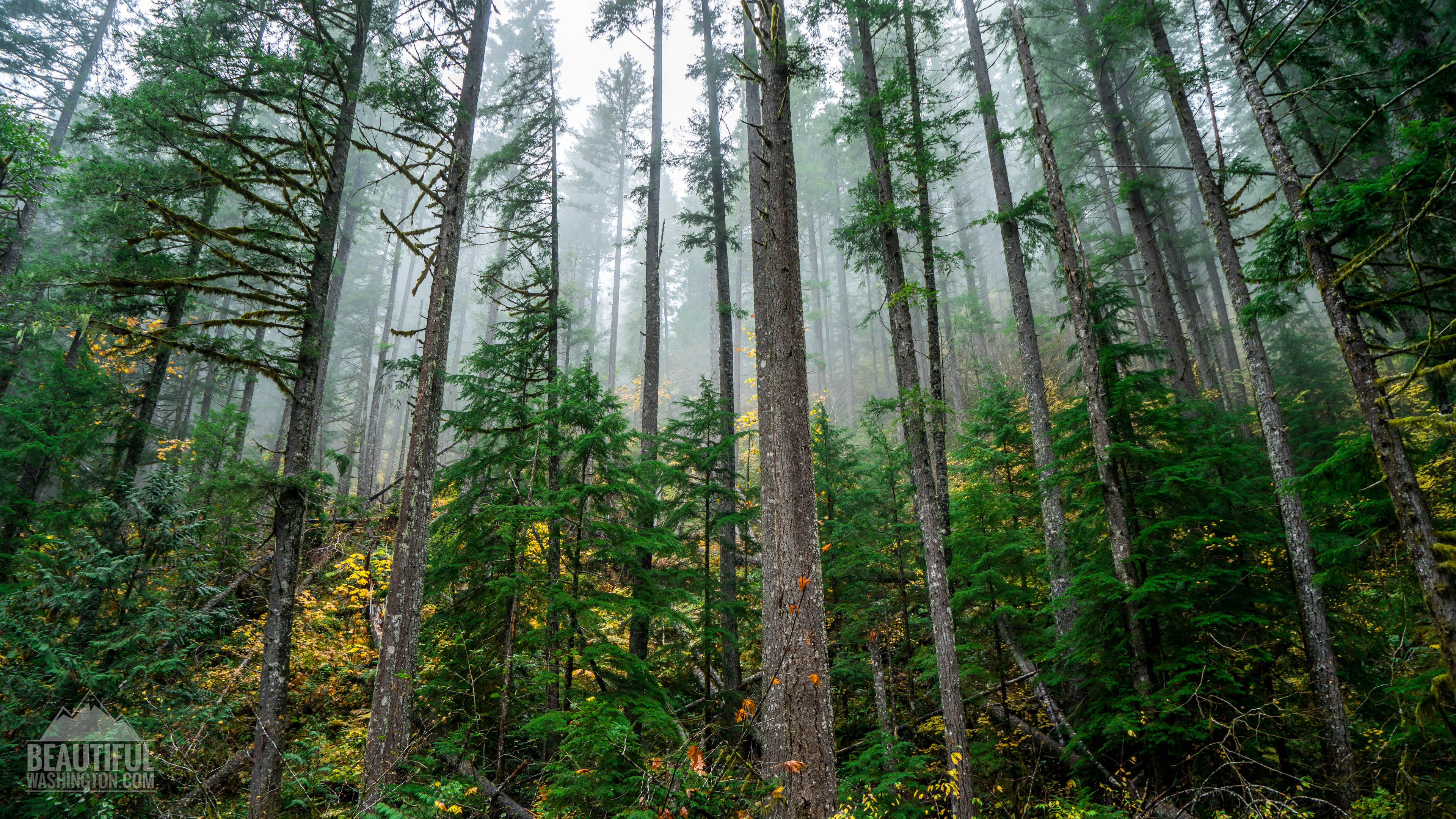
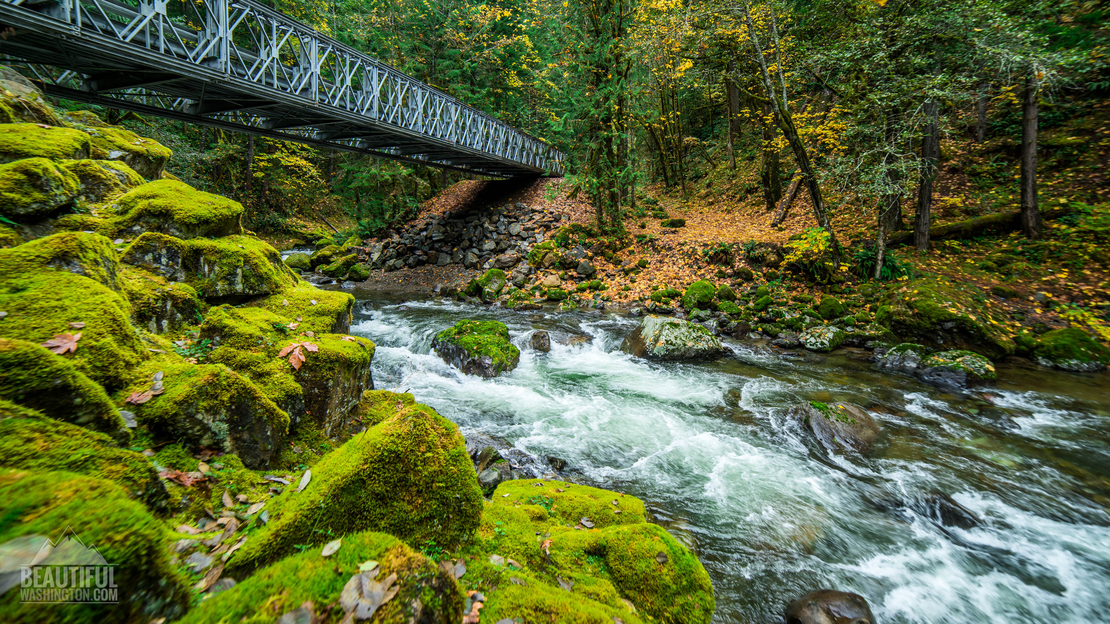
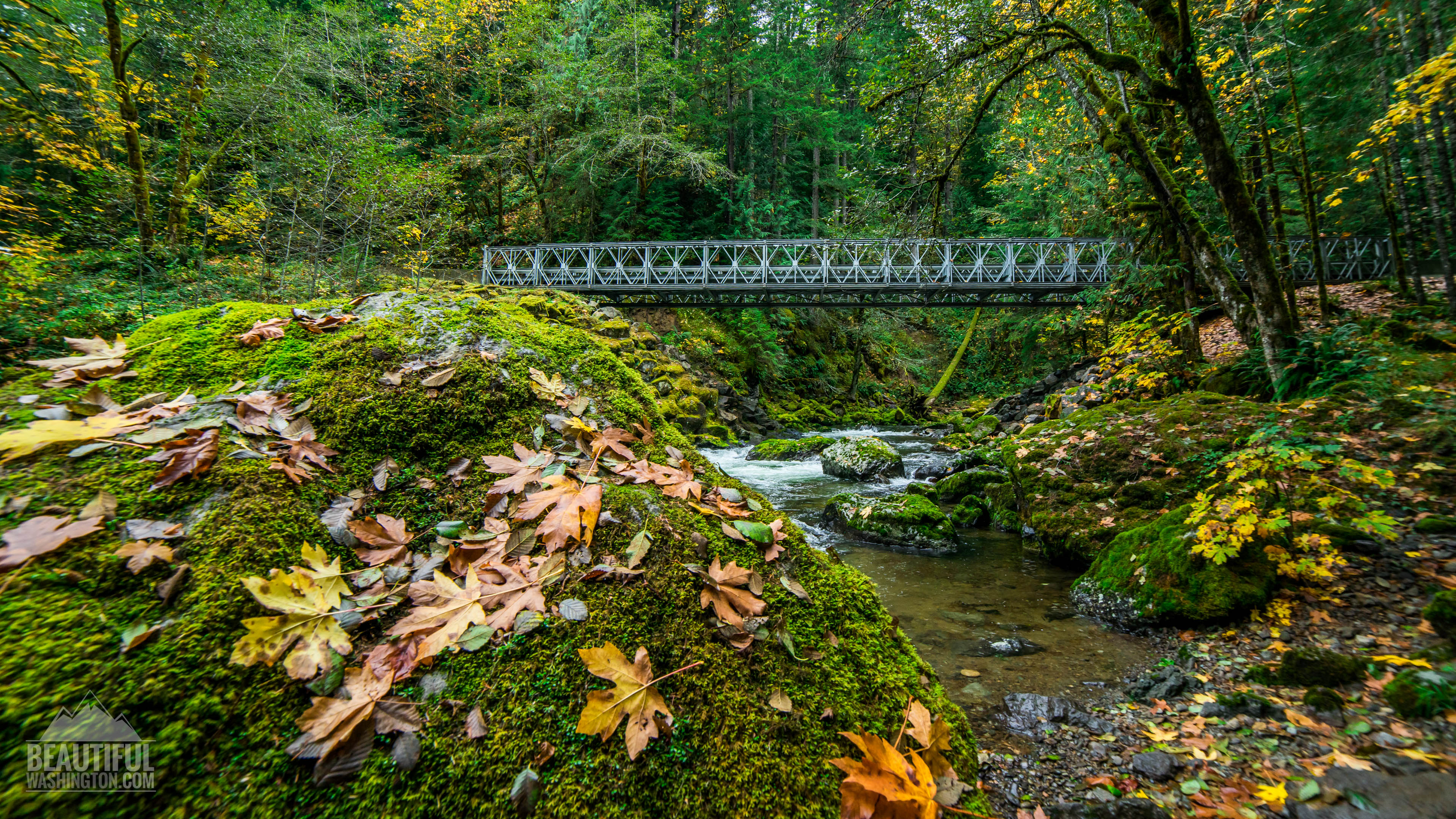
 Pictures and the video below will take you on a virtual drive along this beautiful road.
Forest Road 52 is also known as Skate Creek Road. It travels between Packwood and Elbe from east to west. This is a paved road that runs through gorgeous forest following amazing Skate Creek. This low elevation forest is home for evergreen and deciduous trees.
Skate Creek Road starts at the biggest intersection in Packwood and travels to the west. When the road enters the National Forest, it gains some elevation and offers splendid views. Make sure you stop and enjoy this beauty, check our latest photos from this area, the views are breathtaking.
Drivers may not only enjoy the views, but they can camp here. Camping spots are seen everywhere along the Skate Creek Road. It should be said that Skate Creek is located between Mt. St. Helens National Volcanic Monument and Mount Rainier National Park. Though the road is very primitive, it is really well-kept; it offers generous and gorgeous views of the emerald green forest and the velvet-silver waterfalls.
Fall colors are the most beautiful in this region, leaf carpeted paths are popular among hikers. Skate Creek is one of the favorite destinations for anglers.
Keep in mind, in winter Forest Road 52 is often closed when there is too much snow and the driving becomes unsafe.
-
 Skate Creek Road 1
Skate Creek Road 1
Skate Creek Road 1
-
 Skate Creek Road 2
Skate Creek Road 2
Skate Creek Road 2
-
 Skate Creek Road 3
Skate Creek Road 3
Skate Creek Road 3
-
 Skate Creek Road 4
Skate Creek Road 4
Skate Creek Road 4
-
 Skate Creek Road 5
Skate Creek Road 5
Skate Creek Road 5
-
 Skate Creek Road 6
Skate Creek Road 6
Skate Creek Road 6
-
 Skate Creek Road 7
Skate Creek Road 7
Skate Creek Road 7
-
 Skate Creek Road 8
Skate Creek Road 8
Skate Creek Road 8
-
 Skate Creek Road 9
Skate Creek Road 9
Skate Creek Road 9
-
 Skate Creek Road 10
Skate Creek Road 10
Skate Creek Road 10
-
 Skate Creek Road 11
Skate Creek Road 11
Skate Creek Road 11
-
 Skate Creek Road 12
Skate Creek Road 12
Skate Creek Road 12
-
 Skate Creek Road 13
Skate Creek Road 13
Skate Creek Road 13
-
 Skate Creek Road 14
Skate Creek Road 14
Skate Creek Road 14
-
 Skate Creek Road 15
Skate Creek Road 15
Skate Creek Road 15
-
 Skate Creek Road 16
Skate Creek Road 16
Skate Creek Road 16
-
 Skate Creek Road 17
Skate Creek Road 17
Skate Creek Road 17
-
 Skate Creek Road 18
Skate Creek Road 18
Skate Creek Road 18
-
 Skate Creek Road 19
Skate Creek Road 19
Skate Creek Road 19
-
 Skate Creek Road 20
Skate Creek Road 20
Skate Creek Road 20
-
 Skate Creek Road 21
Skate Creek Road 21
Skate Creek Road 21
-
 Skate Creek Road 22
Skate Creek Road 22
Skate Creek Road 22
-
 Skate Creek Road 23
Skate Creek Road 23
Skate Creek Road 23
-
 Skate Creek Road 24
Skate Creek Road 24
Skate Creek Road 24
-
 Skate Creek Road 25
Skate Creek Road 25
Skate Creek Road 25
-
 Skate Creek Road 26
Skate Creek Road 26
Skate Creek Road 26
-
 Skate Creek Road 27
Skate Creek Road 27
Skate Creek Road 27
-
 Skate Creek Road 28
Skate Creek Road 28
Skate Creek Road 28
-
 Skate Creek Road 29
Skate Creek Road 29
Skate Creek Road 29
-
 Skate Creek Road 30
Skate Creek Road 30
Skate Creek Road 30
-
 Skate Creek Road 31
Skate Creek Road 31
Skate Creek Road 31
-
 Skate Creek Road 32
Skate Creek Road 32
Skate Creek Road 32
-
 Skate Creek Road 33
Skate Creek Road 33
Skate Creek Road 33
-
 Skate Creek Road 34
Skate Creek Road 34
Skate Creek Road 34
-
 Skate Creek Road 35
Skate Creek Road 35
Skate Creek Road 35
-
 Skate Creek Road 36
Skate Creek Road 36
Skate Creek Road 36
-
 Skate Creek Road 37
Skate Creek Road 37
Skate Creek Road 37
-
 Skate Creek Road 38
Skate Creek Road 38
Skate Creek Road 38
-
 Skate Creek Road 39
Skate Creek Road 39
Skate Creek Road 39
-
 Skate Creek Road 40
Skate Creek Road 40
Skate Creek Road 40
-
 Skate Creek Road 41
Skate Creek Road 41
Skate Creek Road 41
-
 Skate Creek Road 42
Skate Creek Road 42
Skate Creek Road 42
-
 Skate Creek Road 43
Skate Creek Road 43
Skate Creek Road 43
-
 Skate Creek Road 44
Skate Creek Road 44
Skate Creek Road 44
-
 Skate Creek Road 45
Skate Creek Road 45
Skate Creek Road 45
-
 Skate Creek Road 46
Skate Creek Road 46
Skate Creek Road 46
-
 Skate Creek Road 47
Skate Creek Road 47
Skate Creek Road 47
-
 Skate Creek Road 48
Skate Creek Road 48
Skate Creek Road 48
-
 Skate Creek Road 49
Skate Creek Road 49
Skate Creek Road 49
-
 Skate Creek Road 50
Skate Creek Road 50
Skate Creek Road 50
-
 Skate Creek Road 51
Skate Creek Road 51
Skate Creek Road 51
-
 Skate Creek Road 52
Skate Creek Road 52
Skate Creek Road 52
-
 Skate Creek Road 53
Skate Creek Road 53
Skate Creek Road 53
-
 Skate Creek Road 54
Skate Creek Road 54
Skate Creek Road 54
-
 Skate Creek Road 55
Skate Creek Road 55
Skate Creek Road 55
-
 Skate Creek Road 56
Skate Creek Road 56
Skate Creek Road 56
-
 Skate Creek Road 57
Skate Creek Road 57
Skate Creek Road 57
-
 Skate Creek Road 58
Skate Creek Road 58
Skate Creek Road 58
-
 Skate Creek Road 59
Skate Creek Road 59
Skate Creek Road 59
-
 Skate Creek Road 60
Skate Creek Road 60
Skate Creek Road 60
https://beautifulwashington.com/mount-rainier/washington-scenic-roads/343-skate-creek-road.html?tmpl=component&print=1&layout=default&page=#sigProId8a64860afe
Pictures were taken on October 27, 2014
Map:
Photo: Roman Khomlyak
Photo Editing: Alex Mandryko
Information: Marina Petrova

