Quote of the Month:
“Nature gives to every time and season some beauties of its own." - Charles Dickens
“Nature gives to every time and season some beauties of its own." - Charles Dickens
| Location: | Eastern Washington |
| Roundtrip: | 3 miles |
| Elevation Gain: | 400 ft |
| Highest Point: | 1750 ft |
| GPS Coordinates: | N 47 19.458 W 119 46.853 |
| Visitor’s Information: |
Discover Pass Required |

The Beezley Hills rise between Frenchman Gap and Moses Coulee, and these hills are part of the geological formation that is called the Yakima Fold Belt.
It should be also noted that the highest point in the Beezley Hills is monument Hill with an elevation of 2,882 feet.
In 2012, 20 miles of trails were open here in the Beezley Hills Recreation Area.

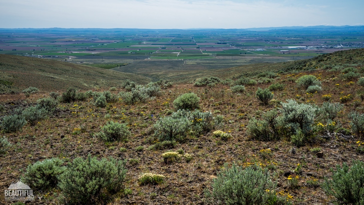
The Beezley Hills Preserve is a part of a wonderful shrub-steppe ecosystem; it receives 10-15 inches of rain annually and is home for many arid climate species.
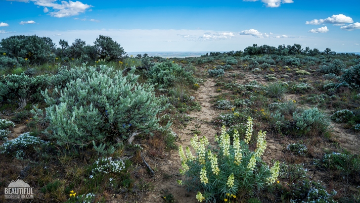
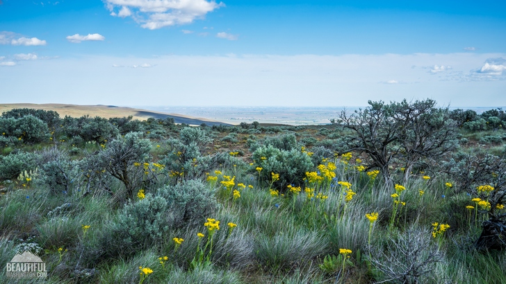
The preserve protects a great number of animals and plants, wonderful displays of wild flowers can be found along the way. Just open your eyes and enjoy the scenery.

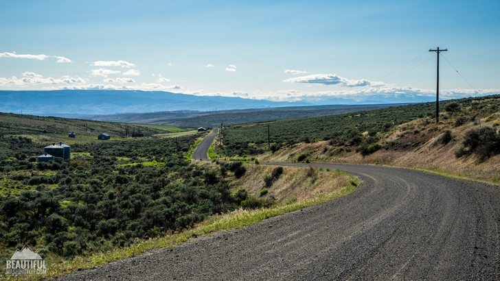
From the very beginning the trail takes it’s hikers along the old jeep road through the most beautiful scenery. Late in April and early in May, you will enjoy hedgehog cactus, balsamroot, daggerpod, phlox and etc.

These three miles open fabulous hiking opportunities for families with kids and for those who love Eastern Washington scenery, its natural wonders and serenity.
 Beezley Hills Trail 2
Beezley Hills Trail 2
Beezley Hills Trail 2
 Beezley Hills Trail 3
Beezley Hills Trail 3
Beezley Hills Trail 3
 Beezley Hills Trail 4
Beezley Hills Trail 4
Beezley Hills Trail 4
 Beezley Hills Trail 5
Beezley Hills Trail 5
Beezley Hills Trail 5
 Beezley Hills Trail 6
Beezley Hills Trail 6
Beezley Hills Trail 6
 Beezley Hills Trail 7
Beezley Hills Trail 7
Beezley Hills Trail 7
 Beezley Hills Trail 8
Beezley Hills Trail 8
Beezley Hills Trail 8
 Beezley Hills Trail 9
Beezley Hills Trail 9
Beezley Hills Trail 9
 Beezley Hills Trail 10
Beezley Hills Trail 10
Beezley Hills Trail 10
 Beezley Hills Trail 11
Beezley Hills Trail 11
Beezley Hills Trail 11
 Beezley Hills Trail 12
Beezley Hills Trail 12
Beezley Hills Trail 12
 Beezley Hills Trail 13
Beezley Hills Trail 13
Beezley Hills Trail 13
 Beezley Hills Trail 14
Beezley Hills Trail 14
Beezley Hills Trail 14
 Beezley Hills Trail 15
Beezley Hills Trail 15
Beezley Hills Trail 15
 Beezley Hills Trail 16
Beezley Hills Trail 16
Beezley Hills Trail 16
 Beezley Hills Trail 17
Beezley Hills Trail 17
Beezley Hills Trail 17
 Beezley Hills Trail 18
Beezley Hills Trail 18
Beezley Hills Trail 18
 Beezley Hills Trail 19
Beezley Hills Trail 19
Beezley Hills Trail 19
 Beezley Hills Trail 20
Beezley Hills Trail 20
Beezley Hills Trail 20
 Beezley Hills Trail 21
Beezley Hills Trail 21
Beezley Hills Trail 21
 Beezley Hills Trail 22
Beezley Hills Trail 22
Beezley Hills Trail 22
 Beezley Hills Trail 23
Beezley Hills Trail 23
Beezley Hills Trail 23
 Beezley Hills Trail 24
Beezley Hills Trail 24
Beezley Hills Trail 24
 Beezley Hills Trail 25
Beezley Hills Trail 25
Beezley Hills Trail 25
 Beezley Hills Trail 1
Beezley Hills Trail 1
Beezley Hills Trail 1
From I-90
Take exit 149 for George. Turn left and drive north on State Route 281 to Quincy. Turn right onto SR 28 toward Ephrata. Drive 0.8 mile and turn left onto P-NW Road (Monument Road). Drive up P-NW Road for 3.1 miles, to where it turns to gravel. At 7.1 miles from SR 28, look for the entry through the fence at a gate marked "Nature Preserve--Foot Travel Only".
In order to get directions click on the map below:
Photo: Roman Khomlyak
Photo Editing: Alex Mandryko
Information: Marina Petrova
Leave your comment