Quote of the Month:
“Nature gives to every time and season some beauties of its own." - Charles Dickens
“Nature gives to every time and season some beauties of its own." - Charles Dickens

Washington State is one of the most beautiful states of the United States, attracting millions of tourists every year. It stands out by the presence of the most diverse nature: high mountains with lots of glaciers and deep valleys, fascinating waterfalls and peaceful meadows, numerous parks, wildlife refuges and much, much more. And of course the magnificent coast of the Pacific Ocean. All this stirs the admiration of visitors and brings a lot of amusement to residents of the state, providing them with a huge amount of recreation options.
The coastal part of the state has always been popular both among tourists and residents, willing to move closer to the ocean. Some people are spending millions of dollars to buy a house with the ocean view, or at least as close to the shoreline as possible. Others are coming here to admire the breathtaking views or just to spend hot summer days near the water swimming, boating, fishing or exploring the multiple coastal hiking trails.
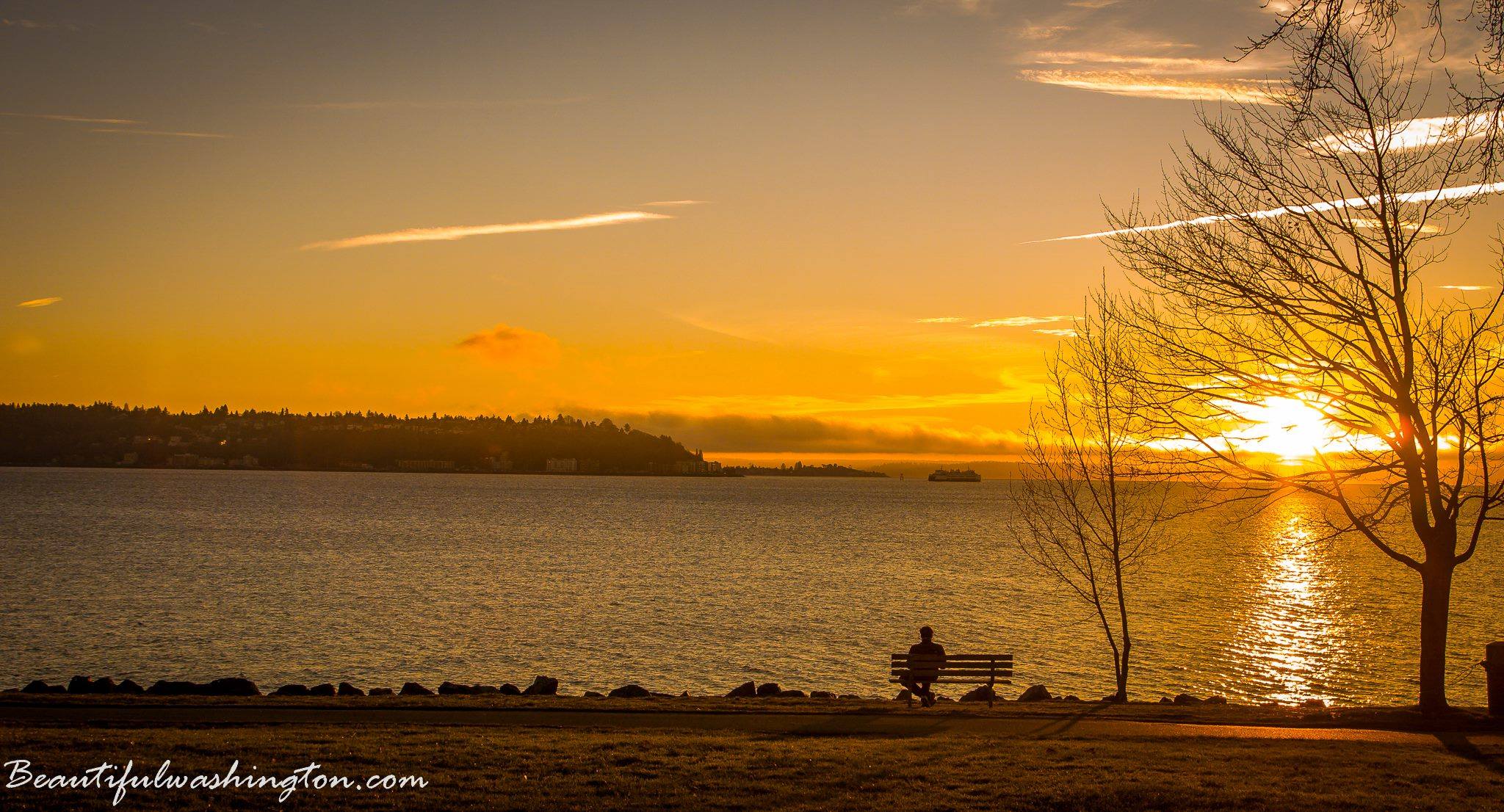
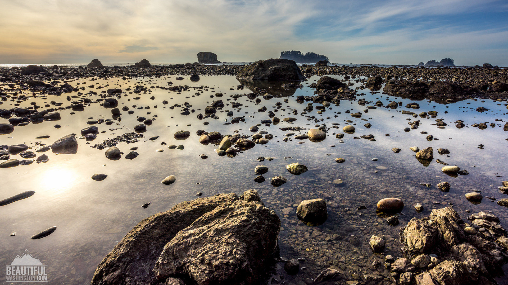
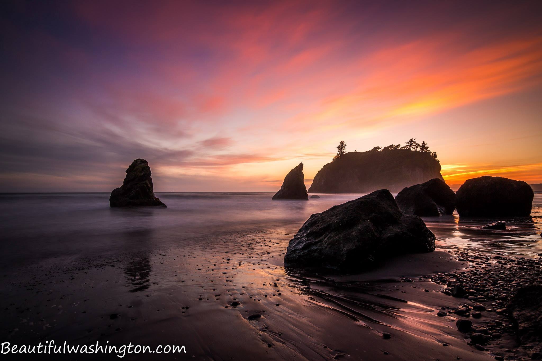
The serene views and grandeur of the Pacific Ocean has always been magically attracting people.
But absorbed by the settled life, sunk in their everyday affairs and problems, people often forget, and many in reality even do not realize, the danger they are exposed to by living at the coastal part of the state.
Recently more and more seismologists keep talking about a mega-earthquake followed by a tsunami, because of which the northwest of the country will be changed beyond recognition. And the reason for it will not be the well-known San Andreas Fault, extending almost through the whole California, which caused the last earthquake with magnitude 6.0 in 2004, but a “peaceful” and, as seismologists used to believe, seismically stable Cascadia subduction zone.

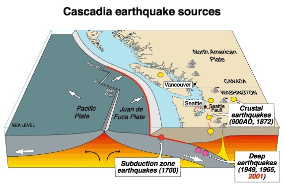
Along the western coast of America there is an area of junction of two tectonic plates with overlapping, where Juan de Fuca plate is sliding and pushing under (subducting) the North American plate. This area is called the “Cascadia subduction zone” and is stretching for 700 miles off the coast, starting from the north of California state, going along Oregon state and Washington state, and ending near Vancouver Island on the south of Canada.
The tectonic plates are continuously moving, but this movement is extremely slow and almost undetectable. During this movement the plates are slipping past one another, creating what scientists call a “Slow Slip Episode”. This causes a series of small earthquakes with magnitude 2.0 and lower, which may continue for ten-fourteen days. Such seismic activity is common for the southern part of Canada and north of Washington, with these series of small earthquakes (or low-level tremor) repeating every 14 months. This cycle was first recorded approximately 15 years ago.
But what happens now is that the North American plate has stuck, or locked, and Juan de Fuca plate continues to push it, thus compressing it eastwards with the speed of 30-40 mm per year. But this cannot continue forever. And one day the North American plate will get released… And when this happens (and the seismologists all in one accord claim that this is a “when” question, and not “if”), one of the greatest disasters in a form of magnitude 9.0 (or even more) mega-earthquake will hit the Pacific Northwest, bringing unmerciful devastation to the western coast.
To understand better what a magnitude 9.0 and more earthquake is look back at Japan in 2011, when a Tohoku earthquake, followed by a tsunami, struck the country, taking lives of more than 18,000 people, making more than 200,000 people homeless, destroying roads and railways in north-eastern part of Japan and causing one of the most difficult crisis in the country throughout its modern history.
But according to the prediction of seismologists the consequences of the earthquake and tsunami caused by a Cascadia subduction zone will be much worse than the once in Japan.

An amazing thing is that until about 30 years ago scientists didn’t know anything about seismic activity of Cascadia subduction zone, as American recorded history didn’t tell anything about big earthquakes at this area. But this history is only a little bit more than 200 years old… But there is another history, which is not recorded, the history of Native Americans, passed through generations in various legends and tales. Numerous Indian tribes which inhabited the coastal area of California, Oregon, Washington and south of Canada have various legends, which in different words describe one and the same disaster, which sounded like huge earthquakes and the floods, destroying the whole villages and killing many people.
Only in 1980s the geologists started considering the stories of indigenous people as an evidence of past disasters. In 1984 Brian Atwater, a geologist working with U.S. Geology Survey, desiring to check the reliability of old Indian legends started exploring marshes and riverbanks of the Washington coastal area. He found multiple evidence of moving and subsiding ground and saltwater floods, proving that the last large earthquake took place at this area in the year 1700 (and which was actually described by the stories of Makah people and many other indigenous people, living at the coastal area).
The further research of the ocean floor showed the deposits of multiple landslides, studying which the geologists managed to determine the approximate number of Cascadia subduction zone earthquakes and tsunamis within the last 10,000 years period. And this number is 41. Using an easy calculation we will get 243 – which is an average period of time between the quakes of this subduction zone.
And the time, passed after the last earthquake is three hundred and fifteen years… Now the scientists are talking about one in ten chance of the next magnitude 9.0 earthquake happening within the next 50 years.

So, what will happen when the North American plate gets released?
According to the predictions of the scientists, the continental plate will “spring” moving westward for 30-100 miles, causing a devastating mega-earthquake.
Kenneth Murphy, the director of FEMA (Federal Emergency Management Agency) for the region including Washington and Oregon, tells that their Agency assumes that area, located to the west from Interstate 5, will be destroyed. The earthquake will impact 140,000 square miles, bringing tremendous destruction to the area, including the capital cities of Oregon and Washington states (Salem and Olympia), as well as such large cities as Seattle and Tacoma in Washington and Portland and Eugene in Oregon.
The earth shaking during 3 to 5 minutes will destroy roads and railways. As most of the buildings of the area were built before establishing the seismic code, a lot of them are not protected against the earthquakes and will be destroyed; among them are schools, hospitals and fire stations.
Only in Seattle, according to Kenneth Murphy, there are still 800 masonry buildings which are still not reinforced against the quakes.
The same is with half of the bridges. The electrical grid infrastructure will fail, making everything especially complicated if the earthquake hits at nighttime. Numerous landslides will help the destruction (according to FEMA about 30,000 of them may happen only in Seattle). Broken pipes, breached dams, collapsed electrical substations… It’s really hard to imagine all the destructive consequences of this earthquake.
But even all this will not be the worst part of the disaster. The worst part will arrive in 15-30 minutes in a form of a huge, 20 to 100 feet high, tsunami wave, destroying everything on its way. And there will be not one wave, but several, the next ones except for the ocean water will carry the cars, trees, parts of broken houses, thus bringing even more devastation.
The only way to run away from the tsunami way is to reach a high place, like some hill. But a problem is that the Washington coastal area is mostly flat and to walk (as the roads will be damaged by an earthquake, and there will be no chance to drive) to the closest hill or mounting will take you up to 40-50 minutes. How many people will be able to make it out of seventy-one thousand, living in inundation zone (and this is not including the abundant number of tourists)? And what picture will we get if we take into account the percentage of elderly and disabled people?
According to FEMA calculations this earthquake-and-tsunami will take more than ten thousand people’s lives, injuring more than thirty thousand with thousands of people being displaced. They estimate the real estate damage to California, Oregon and Washington in more than seventy billion dollars. Years will be needed to restore the infrastructures of the region, making it acceptable for living there again.
Below you will find a BBC documentary, describing the reasons and consequences of the possible disaster:
The shift of the North American plate and the following earthquake and tsunami will change the Pacific Northwest and the lives of its residents beyond recognition. That is why we may only hope that this time the scientists are wrong and this will not happen in the close future.
 Coastal Washington 1
Coastal Washington 1
Coastal Washington 1
 Coastal Washington 2
Coastal Washington 2
Coastal Washington 2
 Coastal Washington 3
Coastal Washington 3
Coastal Washington 3
 Coastal Washington 4
Coastal Washington 4
Coastal Washington 4
 Coastal Washington 5
Coastal Washington 5
Coastal Washington 5
 Coastal Washington 6
Coastal Washington 6
Coastal Washington 6
 Coastal Washington 7
Coastal Washington 7
Coastal Washington 7
 Coastal Washington 8
Coastal Washington 8
Coastal Washington 8
 Coastal Washington 9
Coastal Washington 9
Coastal Washington 9
 Coastal Washington 10
Coastal Washington 10
Coastal Washington 10
 Coastal Washington 11
Coastal Washington 11
Coastal Washington 11
 Coastal Washington 12
Coastal Washington 12
Coastal Washington 12
 Coastal Washington 13
Coastal Washington 13
Coastal Washington 13
 Coastal Washington 14
Coastal Washington 14
Coastal Washington 14
 Coastal Washington 15
Coastal Washington 15
Coastal Washington 15
 Coastal Washington 16
Coastal Washington 16
Coastal Washington 16
 Coastal Washington 17
Coastal Washington 17
Coastal Washington 17
 Coastal Washington 18
Coastal Washington 18
Coastal Washington 18
 Coastal Washington 19
Coastal Washington 19
Coastal Washington 19
 Coastal Washington 20
Coastal Washington 20
Coastal Washington 20
 Coastal Washington 21
Coastal Washington 21
Coastal Washington 21
 Coastal Washington 22
Coastal Washington 22
Coastal Washington 22
 Coastal Washington 23
Coastal Washington 23
Coastal Washington 23
 Coastal Washington 24
Coastal Washington 24
Coastal Washington 24
 Coastal Washington 25
Coastal Washington 25
Coastal Washington 25
 Coastal Washington 26
Coastal Washington 26
Coastal Washington 26
 Coastal Washington 27
Coastal Washington 27
Coastal Washington 27
Photo: Roman Khomlyak
Information: Svetlana Baranova
Leave your comment