Quote of the Month:
“Nature gives to every time and season some beauties of its own." - Charles Dickens
“Nature gives to every time and season some beauties of its own." - Charles Dickens
| Location: | South Cascades Region, West of Mount St. Helens |
| Roundtrip: | 6,2 miles |
| Difficulty: | Moderate |
| Elevation Gain: | 1525 feet |
| GPS Coordinates: | N 46 17.147 W 122 15.208 |
| Visitor’s Information: |
Northwest Forest Pass Required |
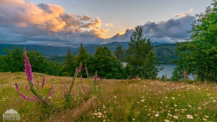
Mount St. Helens is a natural monument, reminding people how unpredictable and unrelenting the nature can be. This amazing National Volcanic Monument attracts annually millions of tourists, offering them multiple ways to explore the area of the terrific eruption of St. Helens volcano, plenty educational stands and signs telling the history of the volcano and the story of its eruption, and a great number of trails allowing the visitors to enjoy the beauty of this gorgeous mountain and its surrounding.
One of the best ways to admire the beauty of volcanic landscapes is to hike the South Coldwater Ridge. Being not as popular as the trails on the eastern side of Mount St. Helens, the trail running over the South Coldwater Ridge will provide you with quietness and solitude, so precious for people who are looking for a place to rest from the fuss and hustle of the city life and are willing to spend some alone time reflecting on their life.
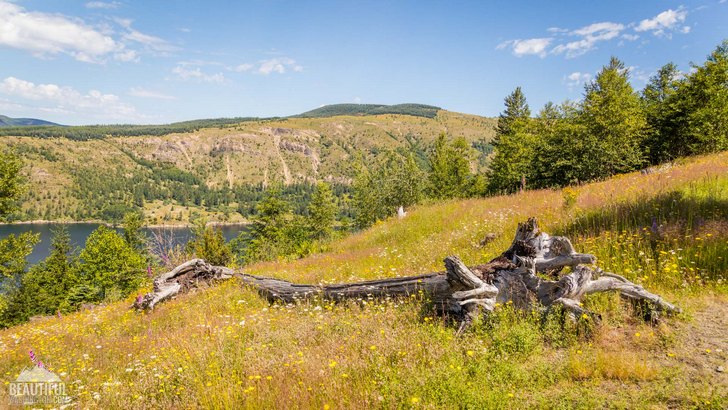
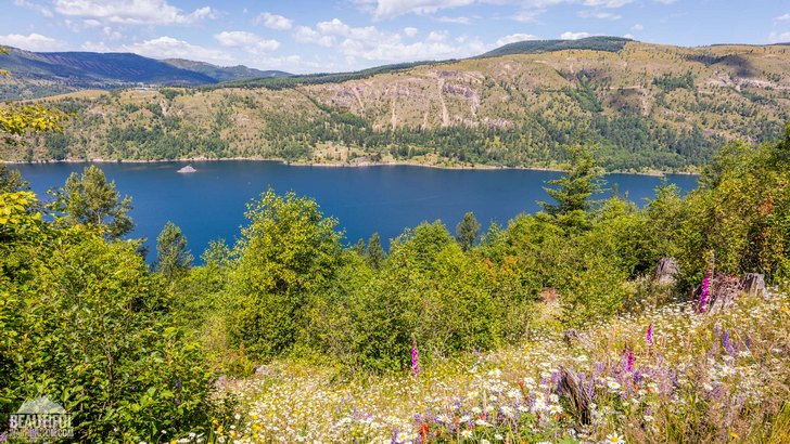
This trail, which is a little bit more than 3 miles long, starts at the South Coldwater Trailhead, which can be found easily. The trail takes the visitors along the southern side of a magnificent Coldwater Lake, giving them a chance to enjoy the glittering waters of this amazing lake created during the volcano eruption in 1980.
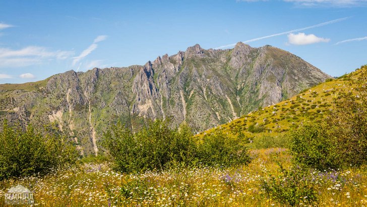
Take a great delight in multiple wildflowers covering the slopes of the South Coldwater Ridge, pleasing the eye and cheering the heart with their beautiful colors. Seeing these incredibly beautiful scenery it is hard to believe that only 3,5 decades ago this place was the site of destruction where dispiteous lava flows and lahars were sweeping all on their path, destroying the local flora and fauna. And it is really miraculous how nature is reviving after such a destruction.
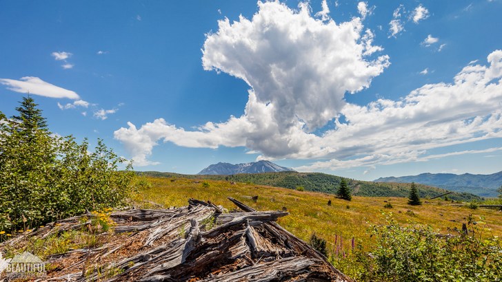
While following the trail you may see numerous stumps scattered over the Ridge – a vivid description of the logging works which were taking place on the ridge in 1970 – 1980. In approximately 1,6 miles you will be able to see one more evidence of logging works, the first of several remains of logging equipment, crumpled and destroyed and half-buried by an enormous blast of Mount St. Helens in May of 1980 – a vivid illustration the unbelievable force of and power of the nature.
Moving further along the trail you will be able to admire the sweeping views of Mount St. Helens. Keep your eyes open as besides the beautiful flora coming back to life after the eruption, fauna is reverting to its original state too. Be ready to see elks there, walking among the rare trees there.
In a little more than 3 miles you will reach the trail junction of the Coldwater Trail and the South Coldwater Trail. At this point you may turn around or precede your hike going to the Coldwater Peak (for this you need to keep right at the trail junction and take the trail #230).
During your trip along the South Coldwater Ridge you should remember that it is forbidden to walk off the trail not to disturb the fragile surface of the soil covered by volcanic ash. The dogs unfortunately are also not allowed on this trail.
We would like to offer you to enjoy this incredible relaxation video, beautiful views and nature sounds of which will transfer you to the South Coldwater Ridge, so that you will be able to soak yourself in amazing wildflowers and birdsongs.
 South Coldwater Ridge 1
South Coldwater Ridge 1
South Coldwater Ridge 1
 South Coldwater Ridge 2
South Coldwater Ridge 2
South Coldwater Ridge 2
 South Coldwater Ridge 3
South Coldwater Ridge 3
South Coldwater Ridge 3
 South Coldwater Ridge 4
South Coldwater Ridge 4
South Coldwater Ridge 4
 South Coldwater Ridge 5
South Coldwater Ridge 5
South Coldwater Ridge 5
 South Coldwater Ridge 6
South Coldwater Ridge 6
South Coldwater Ridge 6
 South Coldwater Ridge 7
South Coldwater Ridge 7
South Coldwater Ridge 7
 South Coldwater Ridge 8
South Coldwater Ridge 8
South Coldwater Ridge 8
 South Coldwater Ridge 9
South Coldwater Ridge 9
South Coldwater Ridge 9
 South Coldwater Ridge 10
South Coldwater Ridge 10
South Coldwater Ridge 10
 South Coldwater Ridge 11
South Coldwater Ridge 11
South Coldwater Ridge 11
 South Coldwater Ridge 12
South Coldwater Ridge 12
South Coldwater Ridge 12
 South Coldwater Ridge 13
South Coldwater Ridge 13
South Coldwater Ridge 13
 South Coldwater Ridge 14
South Coldwater Ridge 14
South Coldwater Ridge 14
 South Coldwater Ridge 15
South Coldwater Ridge 15
South Coldwater Ridge 15
 South Coldwater Ridge 16
South Coldwater Ridge 16
South Coldwater Ridge 16
 South Coldwater Ridge 17
South Coldwater Ridge 17
South Coldwater Ridge 17
 South Coldwater Ridge 18
South Coldwater Ridge 18
South Coldwater Ridge 18
 South Coldwater Ridge 19
South Coldwater Ridge 19
South Coldwater Ridge 19
 South Coldwater Ridge 20
South Coldwater Ridge 20
South Coldwater Ridge 20
 South Coldwater Ridge 21
South Coldwater Ridge 21
South Coldwater Ridge 21
 South Coldwater Ridge 22
South Coldwater Ridge 22
South Coldwater Ridge 22
 South Coldwater Ridge 23
South Coldwater Ridge 23
South Coldwater Ridge 23
 South Coldwater Ridge 24
South Coldwater Ridge 24
South Coldwater Ridge 24
 South Coldwater Ridge 25
South Coldwater Ridge 25
South Coldwater Ridge 25
 South Coldwater Ridge 26
South Coldwater Ridge 26
South Coldwater Ridge 26
 South Coldwater Ridge 27
South Coldwater Ridge 27
South Coldwater Ridge 27
 South Coldwater Ridge 28
South Coldwater Ridge 28
South Coldwater Ridge 28
 South Coldwater Ridge 29
South Coldwater Ridge 29
South Coldwater Ridge 29
 South Coldwater Ridge 30
South Coldwater Ridge 30
South Coldwater Ridge 30
 South Coldwater Ridge 31
South Coldwater Ridge 31
South Coldwater Ridge 31
 South Coldwater Ridge 32
South Coldwater Ridge 32
South Coldwater Ridge 32
If you are coming from Toutle, go east by State Highway 504 for aproximately 36 miles.
In order to get directions click on the map below:
Photo: Roman Khomlyak
Photo Editing: Juliana Voitsikhovska
Information: Svetlana Baranova
Leave your comment