Quote of the Month:
“Nature gives to every time and season some beauties of its own." - Charles Dickens
“Nature gives to every time and season some beauties of its own." - Charles Dickens
| Location: | Mount Rainier, Sunrise Area |
| Roundtrip of the trail: | 7.4 miles |
| Elevation Gain: | 1000 ft |
| Highest Point: | 7400 ft |
| GPS Coordinates: | 46°54'52.6"N 121°38'32.3"W |
 Pictures below will take you on a virtual tour to beautiful summits. Enjoy perfect views of the nature!!!
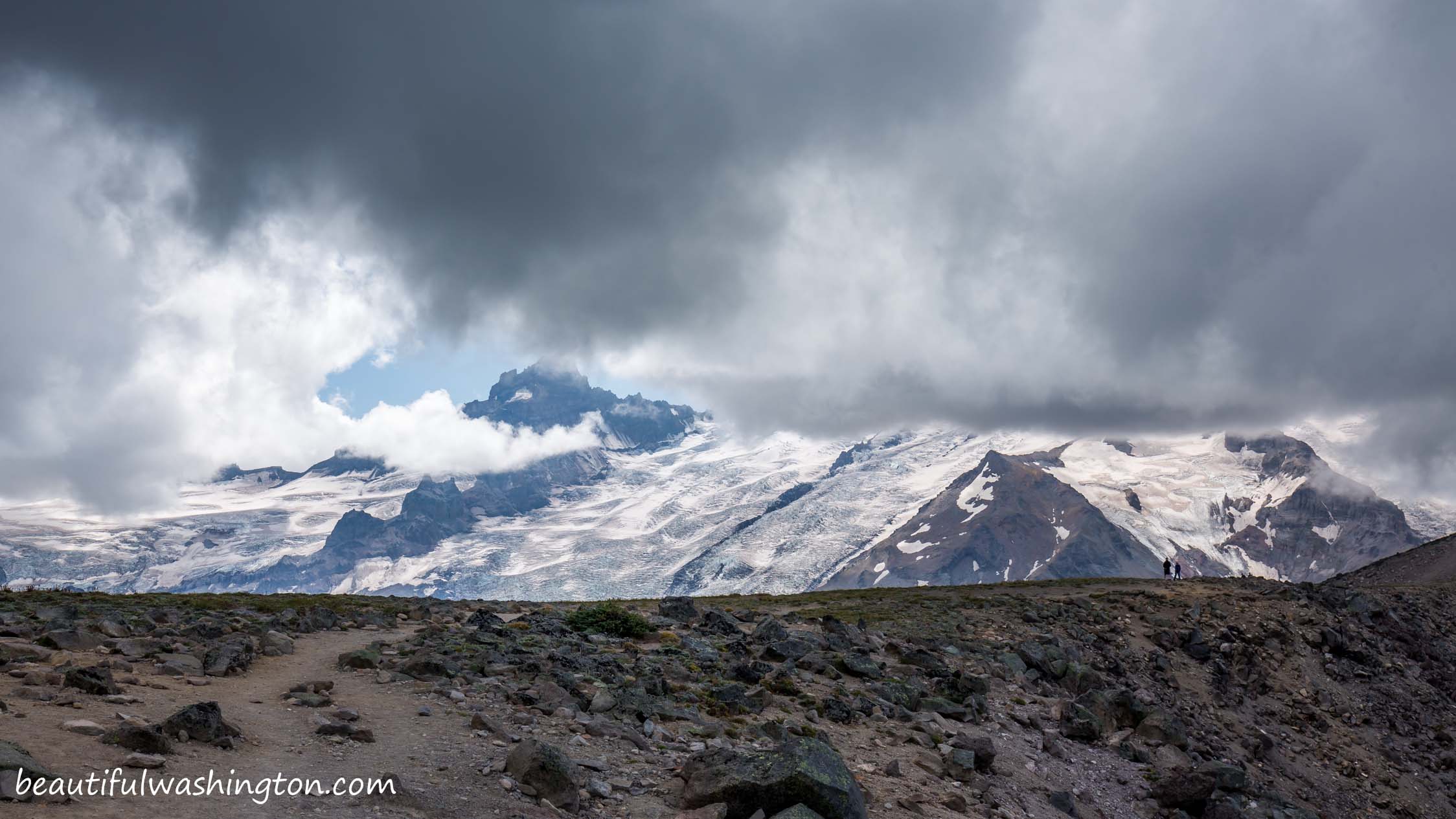
Burroughs Mountain Trail offers wonderful opportunities for wildlife viewing. Hikers here enjoy perfect and peaceful views of Mount Rainier, pikas and marmots that can be found here. Burroughs Mountain consists of three summits: First, Second and Third Burroughs. The summits are over 7,000 feet.

The ecosystem of this area is very unique; this is the tundralike ecosystem where even old plants are not big. The trees do not look old here, but most of them are hundreds of years old. The growing season in this area is very short and the growing conditions are very tough.
The trail to Burroughs Mountain starts at the Sunrise Visitor Center. The path runs towards Sourdough Mountains. After 0.2 mile the trail splits, take the path that runs west and runs to Berkley Park and Burroughs Mountain. The path that goes from the junction is well-maintained and your next 20-minute hike will be pleasant and full of views.

This beautiful path takes you to Frozen Lake and from here there are several options for your hike continuation: the path that goes to the south will take you to Burroughs Mountains, if you go to the North, you’ll enjoy wonderful views from Freemont Fire Lookout, and the path that runs west brings hikers to Berkley Park.

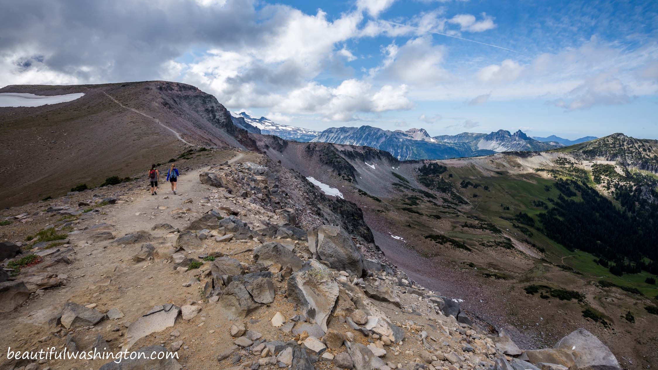
Go left around Frozen Lake and at the next junction take left again and take the path that climbs the slope to First Burroughs. At about 3 miles from the trailhead you come to the end of the top of First Burroughs. Then the trail takes hikers across Second Burroughs, opening wonderful views of the area. From Second Burroughs the trail descends around Third Burroughs.
Hikers may return the same way they came or take the loop Sunrise Rim Loop.
From Enumclaw
Drive east 43 miles on State Route 410 to the Mount Rainier National Park White River Entrance. Turn right onto the Sunrise Road and drive for 17 miles west to the large parking lot and visitor center at the end of the road. Sunrise Road usually doesn't open until early July.
 Burroughs Mountain Trail 1
Burroughs Mountain Trail 1
Burroughs Mountain Trail 1
 Burroughs Mountain Trail 2
Burroughs Mountain Trail 2
Burroughs Mountain Trail 2
 Burroughs Mountain Trail 3
Burroughs Mountain Trail 3
Burroughs Mountain Trail 3
 Burroughs Mountain Trail 4
Burroughs Mountain Trail 4
Burroughs Mountain Trail 4
 Burroughs Mountain Trail 5
Burroughs Mountain Trail 5
Burroughs Mountain Trail 5
 Burroughs Mountain Trail 6
Burroughs Mountain Trail 6
Burroughs Mountain Trail 6
 Burroughs Mountain Trail 7
Burroughs Mountain Trail 7
Burroughs Mountain Trail 7
 Burroughs Mountain Trail 8
Burroughs Mountain Trail 8
Burroughs Mountain Trail 8
 Burroughs Mountain Trail 9
Burroughs Mountain Trail 9
Burroughs Mountain Trail 9
 Burroughs Mountain Trail 10
Burroughs Mountain Trail 10
Burroughs Mountain Trail 10
 Burroughs Mountain Trail 11
Burroughs Mountain Trail 11
Burroughs Mountain Trail 11
 Burroughs Mountain Trail 12
Burroughs Mountain Trail 12
Burroughs Mountain Trail 12
 Burroughs Mountain Trail 13
Burroughs Mountain Trail 13
Burroughs Mountain Trail 13
 Burroughs Mountain Trail 14
Burroughs Mountain Trail 14
Burroughs Mountain Trail 14
 Burroughs Mountain Trail 15
Burroughs Mountain Trail 15
Burroughs Mountain Trail 15
 Burroughs Mountain Trail 16
Burroughs Mountain Trail 16
Burroughs Mountain Trail 16
 Burroughs Mountain Trail 17
Burroughs Mountain Trail 17
Burroughs Mountain Trail 17
 Burroughs Mountain Trail 18
Burroughs Mountain Trail 18
Burroughs Mountain Trail 18
 Burroughs Mountain Trail 19
Burroughs Mountain Trail 19
Burroughs Mountain Trail 19
 Burroughs Mountain Trail 20
Burroughs Mountain Trail 20
Burroughs Mountain Trail 20
 Burroughs Mountain Trail 21
Burroughs Mountain Trail 21
Burroughs Mountain Trail 21
 Burroughs Mountain Trail 22
Burroughs Mountain Trail 22
Burroughs Mountain Trail 22
 Burroughs Mountain Trail 23
Burroughs Mountain Trail 23
Burroughs Mountain Trail 23
 Burroughs Mountain Trail 24
Burroughs Mountain Trail 24
Burroughs Mountain Trail 24
 Burroughs Mountain Trail 25
Burroughs Mountain Trail 25
Burroughs Mountain Trail 25
 Burroughs Mountain Trail 26
Burroughs Mountain Trail 26
Burroughs Mountain Trail 26
 Burroughs Mountain Trail 27
Burroughs Mountain Trail 27
Burroughs Mountain Trail 27
 Burroughs Mountain Trail 28
Burroughs Mountain Trail 28
Burroughs Mountain Trail 28
 Burroughs Mountain Trail 29
Burroughs Mountain Trail 29
Burroughs Mountain Trail 29
 Burroughs Mountain Trail 30
Burroughs Mountain Trail 30
Burroughs Mountain Trail 30
 Burroughs Mountain Trail 31
Burroughs Mountain Trail 31
Burroughs Mountain Trail 31
 Burroughs Mountain Trail 32
Burroughs Mountain Trail 32
Burroughs Mountain Trail 32
 Burroughs Mountain Trail 33
Burroughs Mountain Trail 33
Burroughs Mountain Trail 33
 Burroughs Mountain Trail 34
Burroughs Mountain Trail 34
Burroughs Mountain Trail 34
 Burroughs Mountain Trail 35
Burroughs Mountain Trail 35
Burroughs Mountain Trail 35
 Burroughs Mountain Trail 36
Burroughs Mountain Trail 36
Burroughs Mountain Trail 36
 Burroughs Mountain Trail 37
Burroughs Mountain Trail 37
Burroughs Mountain Trail 37
In order to get the directions click on the link below:
Photo: Roman Khomlyak
Photo Editing: Alex Mandryko
Information: Marina Petrova
Leave your comment