Quote of the Month:
“Nature gives to every time and season some beauties of its own." - Charles Dickens
“Nature gives to every time and season some beauties of its own." - Charles Dickens
| Location: | Snoqualmie Region, North Bend Area, Washington. |
| Roundtrip: | 3.7 miles |
| Difficulty: | Moderate |
| Elevation Gain: | 900 feet |
| Highest Point: | 1880 feet |
| GPS Coordinates: | N 47 25.961 W 121 45.954 |
| Visitor’s Information: |
Dogs are allowed on a leash |
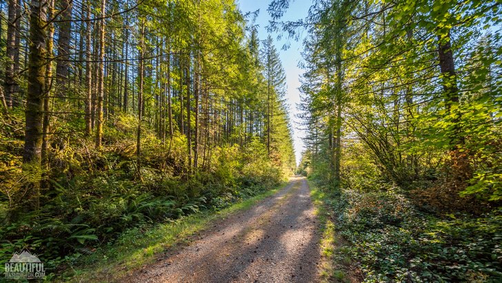
Cedar Butte Trail offers you plenty of spectacular views! Our team took a pleasant hike from Iron Horse State Park where you can easily park (Iron horse trailhead parking area N 47 25.950 W 121 45.999 ) and then make your way to Iron Horse State Park (it’s our starting point: N 47 25.961 W 121 45.954). Then you will take a walk along Milwaukee Road for a mile to Boxley Creek. After crossing it in approximately 500 feet you can find the Cedar Butte trailhead on the right.
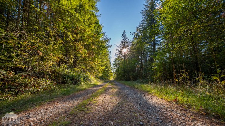
Butte Trail is a 3.7 mile quiet and nice trail with 900' elevation gain located in Snoqualmie Pass corridor, Washington. The trail isn’t heavily-trafficked so it’s good for both experienced and beginning hikers. It’s a great hiking destination for families with kids. You can take your dogs with you but they must be kept on a leash.
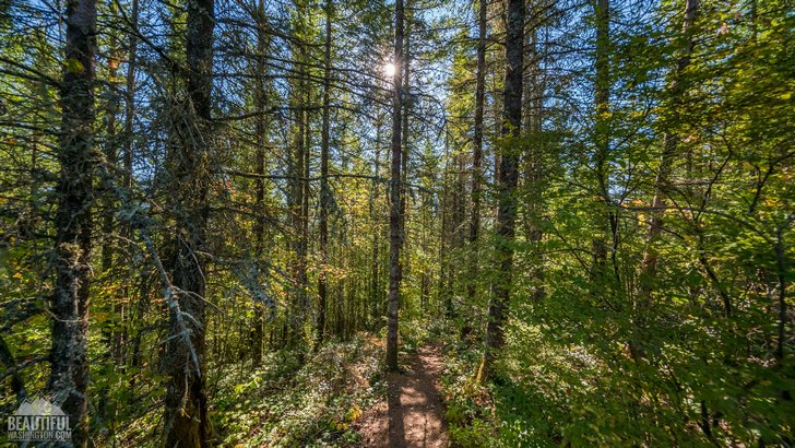
Our team hiked on a clear sunny day so it made our trip more beautiful and pleasant. You can enjoy solitude while you hike through exciting sun-lit woods, listen to soothing nature sounds, breathe fresh air and soak up peaceful atmosphere of the trail.
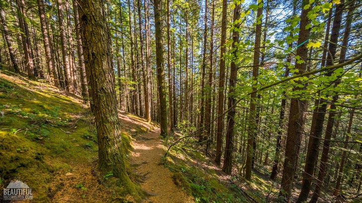
Cedar Butte is truly gorgeous viewpoint. It’s perfect for hiking, trail running or walking, short nature trips. The trail is accessible all year-round and it’s not very busy. The paths through the woods are meandering. So we recommend you bringing good hiking shoes. Definitely, it’s worth hiking to the summit.
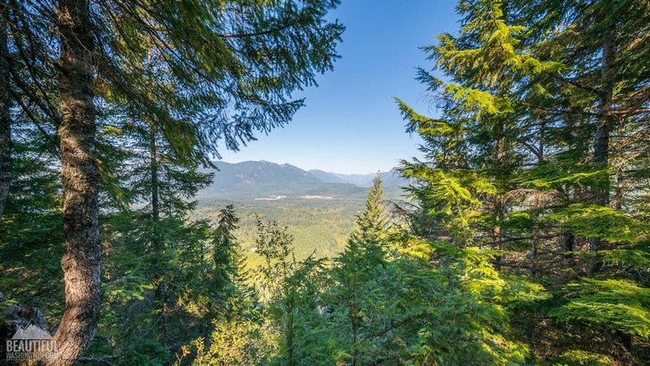
After reaching the top you can catch your breath enjoying spectacular views and even have a picnic.Take in a breathtaking view of the summit and find your inner peace. Growing trees obstruct a little a panoramic view but you can see several mountains, peaks and miles of dense forest.You should try this trail once and you will find the perfect resting spot for your family and close people.
 Cedar Butte Trail 1
Cedar Butte Trail 1
Cedar Butte Trail 1
 Cedar Butte Trail 2
Cedar Butte Trail 2
Cedar Butte Trail 2
 Cedar Butte Trail 3
Cedar Butte Trail 3
Cedar Butte Trail 3
 Cedar Butte Trail 4
Cedar Butte Trail 4
Cedar Butte Trail 4
 Cedar Butte Trail 5
Cedar Butte Trail 5
Cedar Butte Trail 5
 Cedar Butte Trail 6
Cedar Butte Trail 6
Cedar Butte Trail 6
 Cedar Butte Trail 7
Cedar Butte Trail 7
Cedar Butte Trail 7
 Cedar Butte Trail 8
Cedar Butte Trail 8
Cedar Butte Trail 8
 Cedar Butte Trail 9
Cedar Butte Trail 9
Cedar Butte Trail 9
 Cedar Butte Trail 10
Cedar Butte Trail 10
Cedar Butte Trail 10
 Cedar Butte Trail 11
Cedar Butte Trail 11
Cedar Butte Trail 11
 Cedar Butte Trail 12
Cedar Butte Trail 12
Cedar Butte Trail 12
 Cedar Butte Trail 13
Cedar Butte Trail 13
Cedar Butte Trail 13
 Cedar Butte Trail 14
Cedar Butte Trail 14
Cedar Butte Trail 14
 Cedar Butte Trail 15
Cedar Butte Trail 15
Cedar Butte Trail 15
 Cedar Butte Trail 16
Cedar Butte Trail 16
Cedar Butte Trail 16
 Cedar Butte Trail 17
Cedar Butte Trail 17
Cedar Butte Trail 17
 Cedar Butte Trail 18
Cedar Butte Trail 18
Cedar Butte Trail 18
 Cedar Butte Trail 19
Cedar Butte Trail 19
Cedar Butte Trail 19
 Cedar Butte Trail 20
Cedar Butte Trail 20
Cedar Butte Trail 20
These pictures were taken on September 28, 2017
From Seattle: Take I-90 to Exit 32, take a right onto 436th St, following it over the Snoqualmie River for about three miles to the Rattlesnake Recreation Area. Drive past initial signs to Rattlesnake Lake and find the signed Cedar Falls Trailhead ahead on the left.
In order to get directions click on the map below:
Photo: Roman Khomlyak
Photo Editing: Juliana Voitsikhovska
Information: Olena Ukholova
Leave your comment