Quote of the Month:
“Nature gives to every time and season some beauties of its own." - Charles Dickens
“Nature gives to every time and season some beauties of its own." - Charles Dickens
| Location: | Snoqualmie Pass -- North Bend Area, Olallie State Park |
| Roundtrip: | 3.0 miles |
| Elevation Gain: | 500 ft |
| Highest Point | 1000 ft |
| Difficulty: | Easy |
| Duration: | 1-3 hours |
| Pass: | Discover Pass is required |
| Additional Information: |
Family Friendly; Dog Friendly; |
 Features:
· River
· Waterfalls
· Old growth trees
· Good for kids
Twin Falls is located in the Cascades Mountains in Olallie State Park, just in thirty minutes from Seattle. Twin Falls is the tallest waterfall along the South Fork of the Snoqualmie River.
Originally, Twin Falls was known as Upper Snoqualmie Falls. The Twin Falls name the fall received because of the two distinct drops, which can be observed from the ridge.
 A 1.2-mile trail takes hikers to the Twin Falls Bridge. The trail is considered family friendly and well-maintained, but be prepared to some uphill ascents.
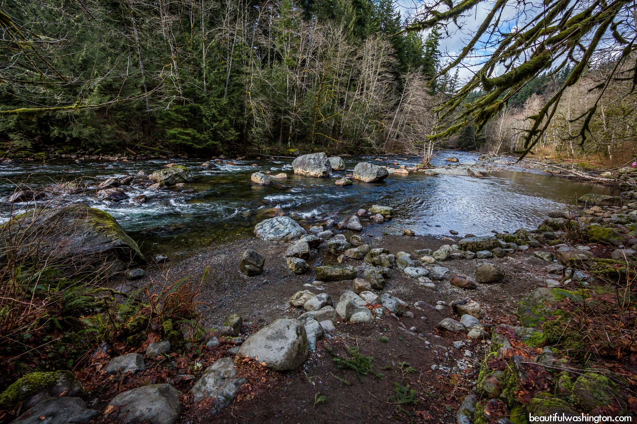
From the trailhead the trail runs along the Snoqualmie River through green and lush forest, the next 0.3 miles the trail gains elevation and takes visitors to the Bench Overlook. This place offers great views of the Snoqualmie River Valley. Here hikers can rest and enjoy the nature. Close to the Bench Overlook, there is a fork in the trail. The right fork takes visitors to the Lower Falls Viewpoint and the left runs to the Twin Falls Bridge. From the Lower Falls Viewpoint visitors enjoy the beauty of the 135-foot Twin Falls. If you decide to take the left fork, you may see smaller waterfalls, which run from a narrow gorge. Less than a quarter mile from the bridge visitors will enjoy a view of the Upper Falls from above. From this point the trail starts to climb steeply and less than a mile Twin Falls Trail crosses the John Wayne Pioneer trail.
 It should be said that Twin Falls Trail is one of many trails, which can be found in Olallie State Park. The park itself is a popular fishing and rock-climbing destination, which is also filled with numerous old trees. Some of them are larger than 10 feet in diameter.
From Seattle:
Drive east on I-90, take exit 34 and turn south onto 468th Ave SE. Drive 0.6 miles and turn left onto SE 159th St. Continue 0.5 miles to the parking lot of the trailhead at the end of the road.
 Twin Falls 01
Twin Falls 01
Twin Falls 01
 Twin Falls 02
Twin Falls 02
Twin Falls 02
 Twin Falls 03
Twin Falls 03
Twin Falls 03
 Twin Falls 04
Twin Falls 04
Twin Falls 04
 Twin Falls 05
Twin Falls 05
Twin Falls 05
 Twin Falls 06
Twin Falls 06
Twin Falls 06
 Twin Falls 07
Twin Falls 07
Twin Falls 07
 Twin Falls 08
Twin Falls 08
Twin Falls 08
 Twin Falls 09
Twin Falls 09
Twin Falls 09
 Twin Falls 10
Twin Falls 10
Twin Falls 10
 Twin Falls 11
Twin Falls 11
Twin Falls 11
 Twin Falls 12
Twin Falls 12
Twin Falls 12
 Twin Falls 13
Twin Falls 13
Twin Falls 13
 Twin Falls 14
Twin Falls 14
Twin Falls 14
 Twin Falls 15
Twin Falls 15
Twin Falls 15
 Twin Falls 16
Twin Falls 16
Twin Falls 16
 Twin Falls 17
Twin Falls 17
Twin Falls 17
 Twin Falls 18
Twin Falls 18
Twin Falls 18
 Twin Falls 19
Twin Falls 19
Twin Falls 19
 Twin Falls 20
Twin Falls 20
Twin Falls 20
 Twin Falls 21
Twin Falls 21
Twin Falls 21
 Twin Falls 22
Twin Falls 22
Twin Falls 22
 Twin Falls 23
Twin Falls 23
Twin Falls 23
 Twin Falls 24
Twin Falls 24
Twin Falls 24
 Twin Falls 25
Twin Falls 25
Twin Falls 25
 Twin Falls 26
Twin Falls 26
Twin Falls 26
 Twin Falls 27
Twin Falls 27
Twin Falls 27
 Twin Falls 28
Twin Falls 28
Twin Falls 28
 Twin Falls 29
Twin Falls 29
Twin Falls 29
 Twin Falls 30
Twin Falls 30
Twin Falls 30
 Twin Falls 31
Twin Falls 31
Twin Falls 31
 Twin Falls 32
Twin Falls 32
Twin Falls 32
 Twin Falls 33
Twin Falls 33
Twin Falls 33
 Twin Falls 34
Twin Falls 34
Twin Falls 34
 Twin Falls 35
Twin Falls 35
Twin Falls 35
In order to get directions, click on the map below
Photo: Roman Khomlyak
Photo Editing: Pavlo Petryshyn
Information: Marina Petrova
Leave your comment