Quote of the Month:
“Nature gives to every time and season some beauties of its own." - Charles Dickens
“Nature gives to every time and season some beauties of its own." - Charles Dickens
| Location: | Snoqualmie Region, North Bend Area |
| Lengh: | 9 miles, roundtrip |
| Elevation Gain: | 300 ft |
| Highest Point: | 1100 ft |
| GPS Coordinates: | 47°26'00.6"N 121°46'03.0"W |
 Pictures below will take you on a virtual tour along the best rails-to-trails conversions. Enjoy stunning views!!!
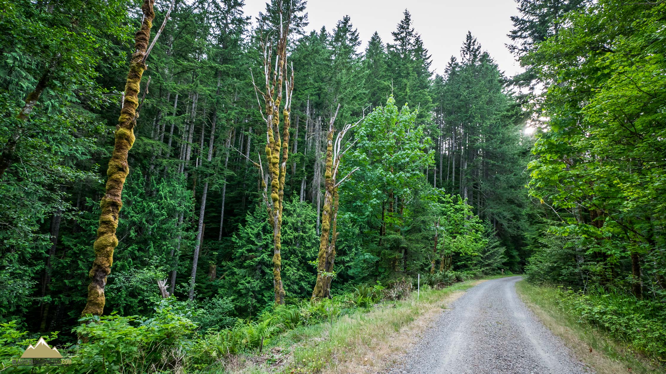
The Iron Horse Trail or the John Wayne Pioneer Trail is one the best rails-to-trails type conversions in the country. Originally, this was the route known as “The Milwaukee Road”. It was in operation until the 1970s when the railroad company turned bankrupt. Government bought this land and turned it into a wonderful trail for non-motorized vehicles. Nowadays, this picturesque trail runs all the way across the State of Washington.

Iron Horse Trail offers wonderful possibilities for an easy hiking or bicycling in the heart of picturesque region. The trail also provides access to many other connecting trails in the Cedar River divide area. In winter the route offers wonderful possibilities for skiers.
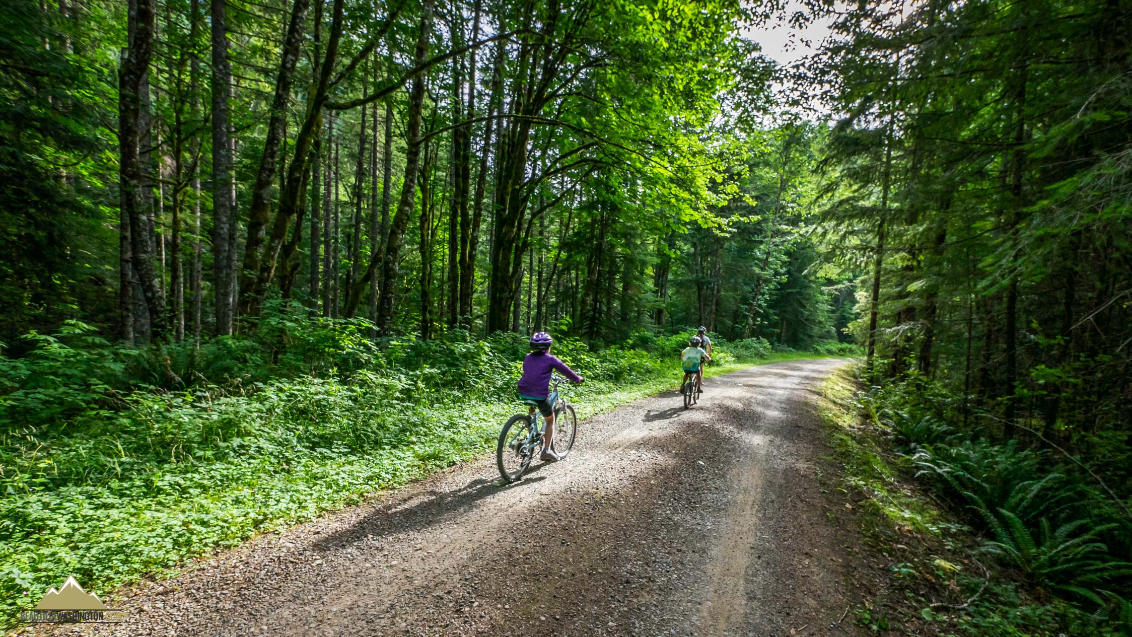
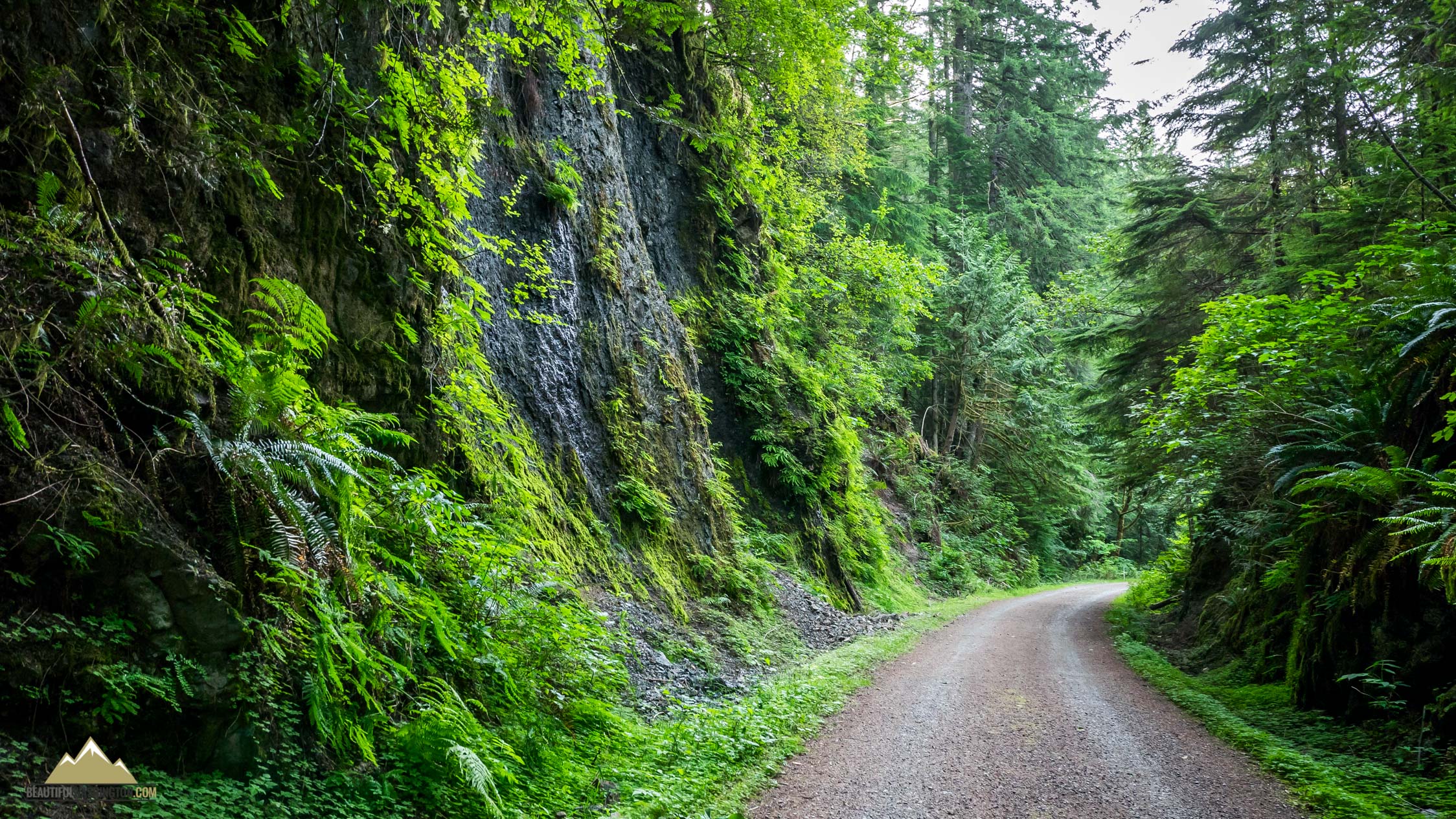
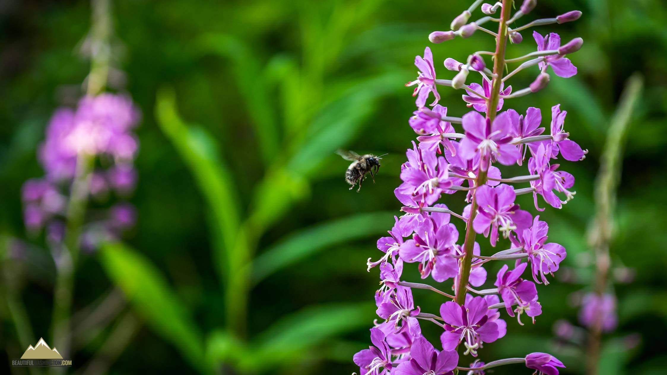
In summer this route is truly picturesque. You can ride a bike or hike it and enjoy green walls that surround you, lots of flowers of different colours, and you can even find and taste berries here.
The western part of the trail is located at Rattlesnake Lake Recreational Area. The old rail-trail crosses Boxley Creek and continues to run east along the flank of Cedar Butte. Iron Horse Trail is perfect for families with kids. The trail is wide, well-maintained and doesn’t gain much elevation, it’s pretty flat. Children enjoy this route because it is not exhausting for them. Kids have fun here, they can ride a bike, enjoy wildlife and sluicy streams. Check our pictures below and you will see with your own eyes how beautiful and diverse this trail is.

There are several trestles that offer gorgeous vies of South Fork Snoqualmie Valley and Middle Fork Valley, also enjoy the views of Mount Si and Mailbox Peaks that can be found to the north. These wooden trestles can be found at 4.5 miles from the trailhead near Change Creek and near Hall Creek.
From Seattle:
Drive east on I-90 and take Exit 32 – 436thAvenue SE. Turn right on Cedar Falls Road SE and drive 4.5 miles. You will pass the Rattlesnake Lake parking lot and the Iron Horse Trailhead parking area will be found on the left.
 Iron Horse Trail 1
Iron Horse Trail 1
Iron Horse Trail 1
 Iron Horse Trail 2
Iron Horse Trail 2
Iron Horse Trail 2
 Iron Horse Trail 3
Iron Horse Trail 3
Iron Horse Trail 3
 Iron Horse Trail 4
Iron Horse Trail 4
Iron Horse Trail 4
 Iron Horse Trail 5
Iron Horse Trail 5
Iron Horse Trail 5
 Iron Horse Trail 6
Iron Horse Trail 6
Iron Horse Trail 6
 Iron Horse Trail 7
Iron Horse Trail 7
Iron Horse Trail 7
 Iron Horse Trail 8
Iron Horse Trail 8
Iron Horse Trail 8
 Iron Horse Trail 9
Iron Horse Trail 9
Iron Horse Trail 9
 Iron Horse Trail 10
Iron Horse Trail 10
Iron Horse Trail 10
 Iron Horse Trail 11
Iron Horse Trail 11
Iron Horse Trail 11
 Iron Horse Trail 12
Iron Horse Trail 12
Iron Horse Trail 12
 Iron Horse Trail 13
Iron Horse Trail 13
Iron Horse Trail 13
 Iron Horse Trail 14
Iron Horse Trail 14
Iron Horse Trail 14
 Iron Horse Trail 15
Iron Horse Trail 15
Iron Horse Trail 15
 Iron Horse Trail 16
Iron Horse Trail 16
Iron Horse Trail 16
 Iron Horse Trail 17
Iron Horse Trail 17
Iron Horse Trail 17
 Iron Horse Trail 18
Iron Horse Trail 18
Iron Horse Trail 18
 Iron Horse Trail 19
Iron Horse Trail 19
Iron Horse Trail 19
 Iron Horse Trail 20
Iron Horse Trail 20
Iron Horse Trail 20
 Iron Horse Trail 21
Iron Horse Trail 21
Iron Horse Trail 21
 Iron Horse Trail 22
Iron Horse Trail 22
Iron Horse Trail 22
 Iron Horse Trail 23
Iron Horse Trail 23
Iron Horse Trail 23
 Iron Horse Trail 24
Iron Horse Trail 24
Iron Horse Trail 24
 Iron Horse Trail 25
Iron Horse Trail 25
Iron Horse Trail 25
 Iron Horse Trail 26
Iron Horse Trail 26
Iron Horse Trail 26
 Iron Horse Trail 27
Iron Horse Trail 27
Iron Horse Trail 27
 Iron Horse Trail 28
Iron Horse Trail 28
Iron Horse Trail 28
 Iron Horse Trail 29
Iron Horse Trail 29
Iron Horse Trail 29
 Iron Horse Trail 30
Iron Horse Trail 30
Iron Horse Trail 30
 Iron Horse Trail 31
Iron Horse Trail 31
Iron Horse Trail 31
 Iron Horse Trail 32
Iron Horse Trail 32
Iron Horse Trail 32
 Iron Horse Trail 33
Iron Horse Trail 33
Iron Horse Trail 33
 Iron Horse Trail 34
Iron Horse Trail 34
Iron Horse Trail 34
 Iron Horse Trail 35
Iron Horse Trail 35
Iron Horse Trail 35
 Iron Horse Trail 36
Iron Horse Trail 36
Iron Horse Trail 36
 Iron Horse Trail 37
Iron Horse Trail 37
Iron Horse Trail 37
 Iron Horse Trail 38
Iron Horse Trail 38
Iron Horse Trail 38
 Iron Horse Trail 39
Iron Horse Trail 39
Iron Horse Trail 39
 Iron Horse Trail 40
Iron Horse Trail 40
Iron Horse Trail 40
 Iron Horse Trail 41
Iron Horse Trail 41
Iron Horse Trail 41
 Iron Horse Trail 42
Iron Horse Trail 42
Iron Horse Trail 42
 Iron Horse Trail 43
Iron Horse Trail 43
Iron Horse Trail 43
 Iron Horse Trail 44
Iron Horse Trail 44
Iron Horse Trail 44
 Iron Horse Trail 45
Iron Horse Trail 45
Iron Horse Trail 45
 Iron Horse Trail 46
Iron Horse Trail 46
Iron Horse Trail 46
In order to get the directions click on the link below:
Photo: Roman Khomlyak
Photo Editing: Alex Mandryko
Information: Marina Petrova
Leave your comment