Quote of the Month:
“Nature gives to every time and season some beauties of its own." - Charles Dickens
“Nature gives to every time and season some beauties of its own." - Charles Dickens
| Location: | Snoqualmie Region, Washington State. |
| Roundtrip: | 24,9 miles |
| Difficulty: | Moderate |
| Elevation Gain: | 200 feet |
| Highest Point: | 1100 ft |
| GPS Coordinates: | N 47 32.877 W 121 32.231 |
| Visitor’s Information: |
Dogs are allowed on a leash on the trail |

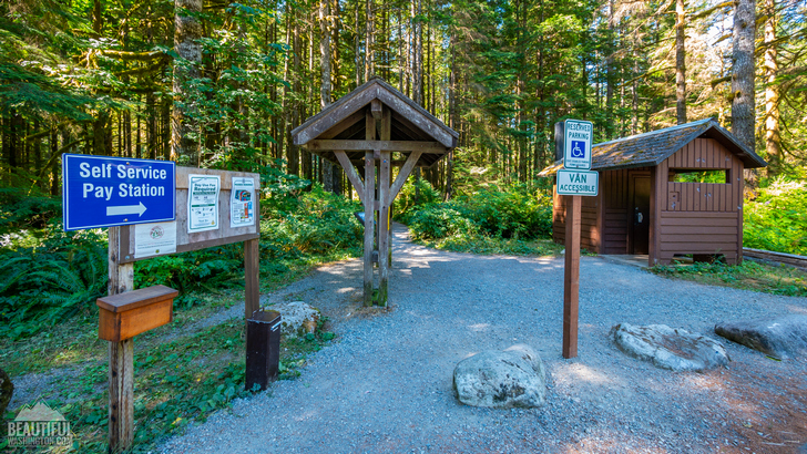
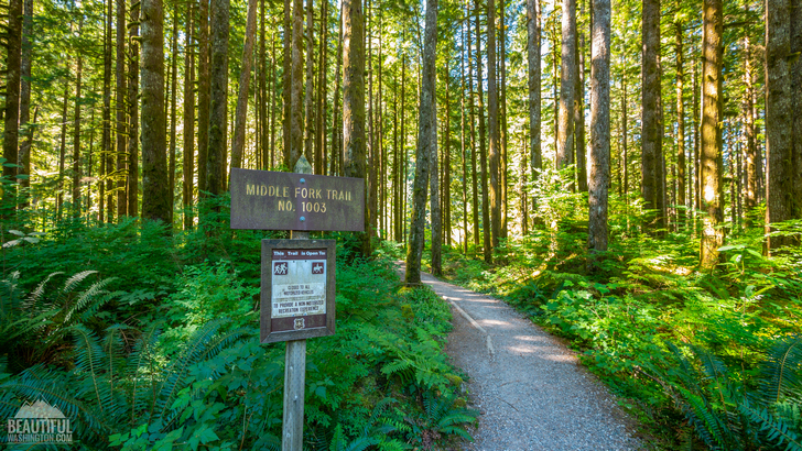
Middle Fork Trail starts at Middle Fork Trailhead. There is plenty of parking there. The trail used to attract lots of hikers, mountain bikers, and equestrians. Unfortunately, it is currently CLOSED due to landslide activity in the area. A huge landslide destroyed a 200’ section of the trail. But hikers can take a short walk from the trailhead through the old growth forest and immerse in the peaceful atmosphere.

The best time for hiking is from spring through autumn. This 24,9-mile trail is quiet and moderately trafficked located in Snoqualmie Region, near North Bend. It leads along the Middle Fork Snoqualmie River to the Alpine Lakes Wilderness.
It’s a great place to enjoy solitude and reconnect with nature. There are lots of fascinating towering mossy trees and dense vegetation on both sides of the trail. Shady Mt. Baker-Snoqualmie National Forest will make your hike more enjoyable.
The area also offers alternate routes such as Pratt River Trail and CCC Trail, Dingford Creek Trail, Snoqualmie Lake Trail located in North Bend Area.
Enjoy the photo gallery below and be inspired by incredible Washington State’s beauty.
 Middle Fork Trail 1
Middle Fork Trail 1
Middle Fork Trail 1
 Middle Fork Trail 2
Middle Fork Trail 2
Middle Fork Trail 2
 Middle Fork Trail 3
Middle Fork Trail 3
Middle Fork Trail 3
 Middle Fork Trail 4
Middle Fork Trail 4
Middle Fork Trail 4
 Middle Fork Trail 5
Middle Fork Trail 5
Middle Fork Trail 5
 Middle Fork Trail 6
Middle Fork Trail 6
Middle Fork Trail 6
 Middle Fork Trail 7
Middle Fork Trail 7
Middle Fork Trail 7
 Middle Fork Trail 8
Middle Fork Trail 8
Middle Fork Trail 8
These pictures were taken on July 27, 2017
Photo: Roman Khomlyak
Photo Editing: Juliana Voitsikhovska
Information: Olena Ukholova
Leave your comment