Quote of the Month:
“Nature gives to every time and season some beauties of its own." - Charles Dickens
“Nature gives to every time and season some beauties of its own." - Charles Dickens
| Location: | San Juan Island National Historical Park |
| Roundtrip: | 3.5 miles |
| Features: | Coast, Mountain views, Wildlife |
| Information: | Good for kids Dogs allowed on leash |
| GPS Coordinates: | N 48 27.817, W 122 59.935 |
 Pictures below will take you on a virtual tour along the trail! The photos will help you to imagine this perfect hike and to get an additional information!
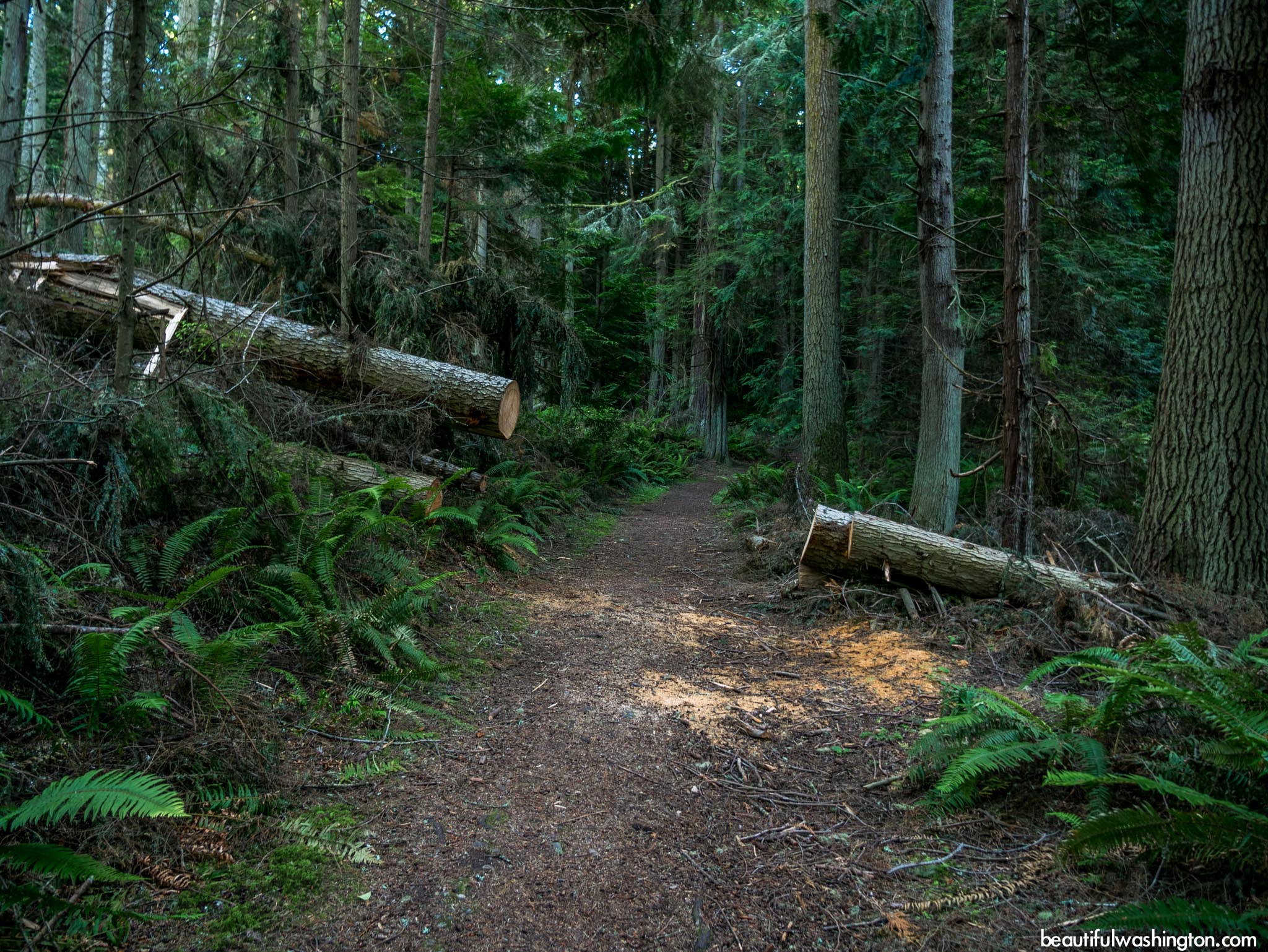
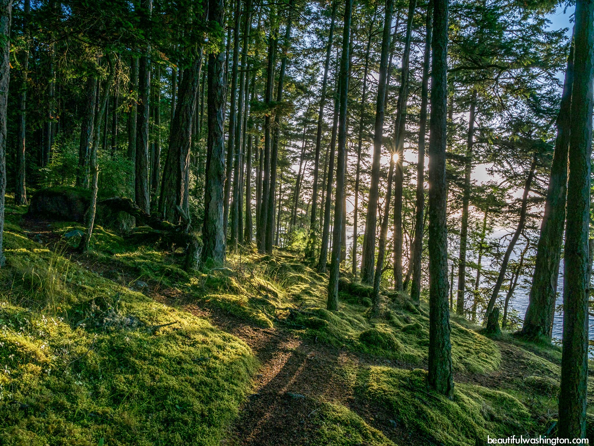
Mount Finlayson Trail is a wonderful and easy route that takes hikers around Mount Finlayson on San Juan Island. The path runs through lush green forest, passing lagoons and offering stunning views of the Olympic Mountains, Mount Baker and the Cascades.
Mount Finlayson is more a hill than a mountain that rises along the southern shore of San Juan Island. The loop also gives the opportunity to explore the wooded side of the mountain (the northern side) and the southern side – open prairie.

The summit of Mount Finlayson gives the opportunity to enjoy and marvel the beauty of the coastline that stretches below, enjoy the hovering eagles, sandpipers, hawks and plovers.
It should be said that Mount Finlayson is located at the historical San Juan Island National Historical Park. This park was created to commemorate the bloodless Pig War. The Pig War began when American settler killed a pig that belonged to an Englishman. This confrontation involved British and American troops and the “battle” was over the possession of the land.

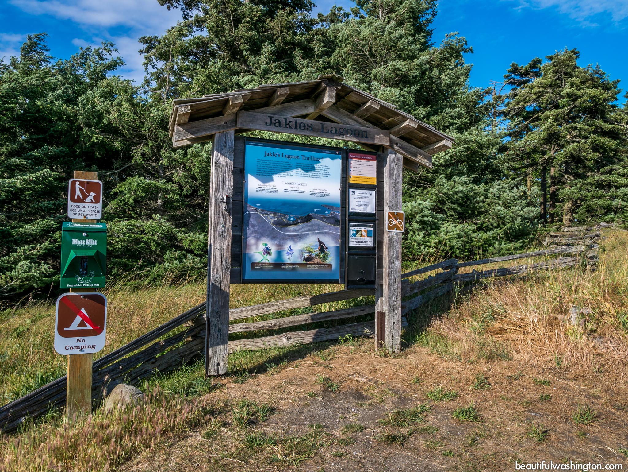
Start your hike at the Jakles Lagoon trailhead and continue to go east following the Mount Finlayson Trail. This trail is good for kids as it climbs gradually, opening wonderful views of the waters. At about 0.3 mile, you will come to trail that turns left, but we recommend continue going straight. This trail will take you to the top of Mount Finlayson. By the way, the mount got its’ name from one of the founders of Victoria, British Columbia.
The summit of the mountain offers perfect place for enjoying the Strait of Juan de Fuca, whales and eagles.
From San Juan Island
Follow Spring Street for 0.5 mile through town. Turn left onto Mullis Road, which becomes Cattle Point Road. Reach trailhead signed as “Jakle’s Lagoon” in 6.7 miles.
 Mount Finlayson Trail 1
Mount Finlayson Trail 1
Mount Finlayson Trail 1
 Mount Finlayson Trail 2
Mount Finlayson Trail 2
Mount Finlayson Trail 2
 Mount Finlayson Trail 3
Mount Finlayson Trail 3
Mount Finlayson Trail 3
 Mount Finlayson Trail 4
Mount Finlayson Trail 4
Mount Finlayson Trail 4
 Mount Finlayson Trail 5
Mount Finlayson Trail 5
Mount Finlayson Trail 5
 Mount Finlayson Trail 6
Mount Finlayson Trail 6
Mount Finlayson Trail 6
 Mount Finlayson Trail 7
Mount Finlayson Trail 7
Mount Finlayson Trail 7
 Mount Finlayson Trail 8
Mount Finlayson Trail 8
Mount Finlayson Trail 8
 Mount Finlayson Trail 9
Mount Finlayson Trail 9
Mount Finlayson Trail 9
 Mount Finlayson Trail 10
Mount Finlayson Trail 10
Mount Finlayson Trail 10
 Mount Finlayson Trail 11
Mount Finlayson Trail 11
Mount Finlayson Trail 11
 Mount Finlayson Trail 12
Mount Finlayson Trail 12
Mount Finlayson Trail 12
 Mount Finlayson Trail 13
Mount Finlayson Trail 13
Mount Finlayson Trail 13
 Mount Finlayson Trail 14
Mount Finlayson Trail 14
Mount Finlayson Trail 14
 Mount Finlayson Trail 15
Mount Finlayson Trail 15
Mount Finlayson Trail 15
 Mount Finlayson Trail 16
Mount Finlayson Trail 16
Mount Finlayson Trail 16
 Mount Finlayson Trail 17
Mount Finlayson Trail 17
Mount Finlayson Trail 17
 Mount Finlayson Trail 18
Mount Finlayson Trail 18
Mount Finlayson Trail 18
 Mount Finlayson Trail 19
Mount Finlayson Trail 19
Mount Finlayson Trail 19
 Mount Finlayson Trail 20
Mount Finlayson Trail 20
Mount Finlayson Trail 20
 Mount Finlayson Trail 21
Mount Finlayson Trail 21
Mount Finlayson Trail 21
 Mount Finlayson Trail 22
Mount Finlayson Trail 22
Mount Finlayson Trail 22
 Mount Finlayson Trail 23
Mount Finlayson Trail 23
Mount Finlayson Trail 23
 Mount Finlayson Trail 24
Mount Finlayson Trail 24
Mount Finlayson Trail 24
 Mount Finlayson Trail 25
Mount Finlayson Trail 25
Mount Finlayson Trail 25
 Mount Finlayson Trail 26
Mount Finlayson Trail 26
Mount Finlayson Trail 26
 Mount Finlayson Trail 27
Mount Finlayson Trail 27
Mount Finlayson Trail 27
 Mount Finlayson Trail 28
Mount Finlayson Trail 28
Mount Finlayson Trail 28
 Mount Finlayson Trail 29
Mount Finlayson Trail 29
Mount Finlayson Trail 29
 Mount Finlayson Trail 30
Mount Finlayson Trail 30
Mount Finlayson Trail 30
 Mount Finlayson Trail 31
Mount Finlayson Trail 31
Mount Finlayson Trail 31
 Mount Finlayson Trail 32
Mount Finlayson Trail 32
Mount Finlayson Trail 32
 Mount Finlayson Trail 33
Mount Finlayson Trail 33
Mount Finlayson Trail 33
 Mount Finlayson Trail 34
Mount Finlayson Trail 34
Mount Finlayson Trail 34
 Mount Finlayson Trail 35
Mount Finlayson Trail 35
Mount Finlayson Trail 35
 Mount Finlayson Trail 36
Mount Finlayson Trail 36
Mount Finlayson Trail 36
 Mount Finlayson Trail 37
Mount Finlayson Trail 37
Mount Finlayson Trail 37
 Mount Finlayson Trail 38
Mount Finlayson Trail 38
Mount Finlayson Trail 38
 Mount Finlayson Trail 39
Mount Finlayson Trail 39
Mount Finlayson Trail 39
 Mount Finlayson Trail 40
Mount Finlayson Trail 40
Mount Finlayson Trail 40
 Mount Finlayson Trail 41
Mount Finlayson Trail 41
Mount Finlayson Trail 41
In order to get the directions click on the link below:
Photo: Roman Khomlyak
Photo Editing: Pavlo Petryshyn
Information: Marina Petrova
Leave your comment